To facilitate our services to the community, we may be out of the office. Please call our office first prior to visiting – we don’t want to miss helping you!
GIS Mapping
Montgomery County Mapping Office prides itself on its commitment to the local community, cities, emergency services, the state, and Federal Government.
We are able to assist our customers with their diverse mapping requests, and we are pleased to announce that our mapping imagery has been completely revamped to ensure that it is even more accurate and comprehensive. If you would like an aerial image of your property, we can provide an electronic version or standard copy paper size at no charge.
Larger-sized images or more maps, are available for a fee to cover the cost of printing. Please contact our office to learn more about the additional options.
Montgomery County GIS parcel data is also easily accessible via the Kansas GIS website.
Contact Us

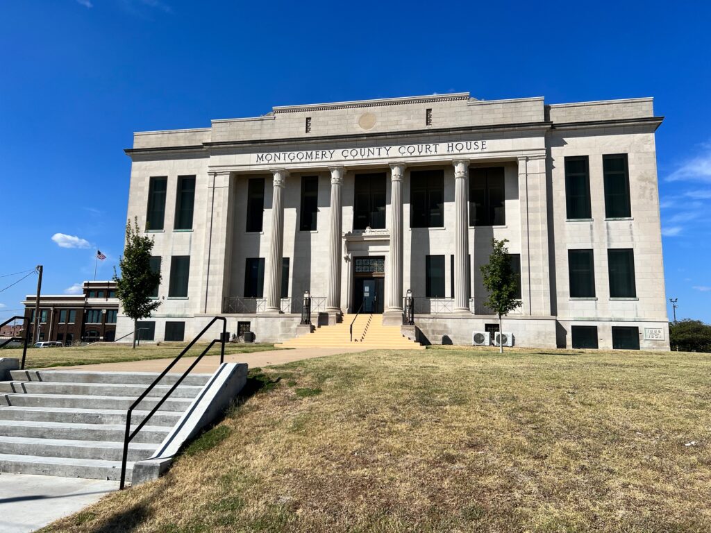
Located on the first floor of the County Courthouse in the Appraiser’s office.
